Remote Survey Method for Wildlife
December 27, 2022
I.G.O.R. Events
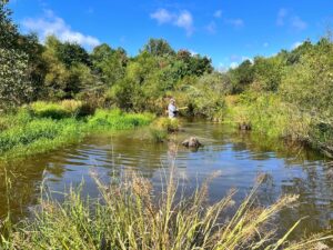
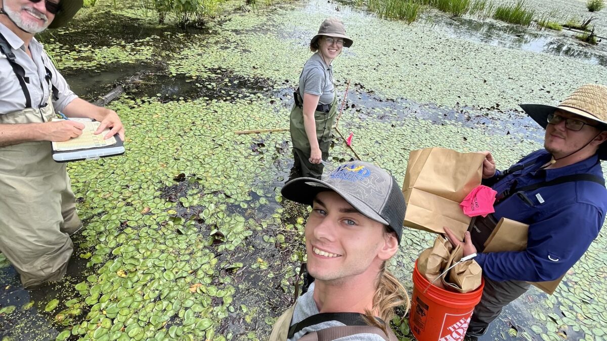
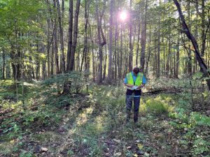
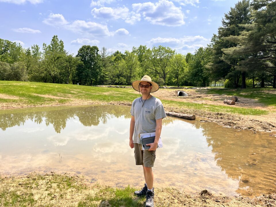
December 27, 2022This summer MAD had the opportunity to work under contract to the Ohio EPA (with Burgess & Niple) collecting data on wetland habitat and quality throughout the state. Sites included natural and mitigation wetlands. Sites varied from agricultural fields, to fens, to forested vernal pools, and deep emergent marsh. Our task was to collect and summarize watershed level data and complete habitat quality and plant community assessments.
The ORAM (Ohio Rapid Assessment Method for wetlands) and OMWAM (Ohio Mitigation Wetland Assessment Method) allow us to determine a wetland category (1-3) based on habitat characteristics. The ORAM was developed and calibrated for natural wetlands and therefore isn’t appropriate for restored or created sites. The OMWAM considers many of the same habitat features, but also includes measures of societal importance, impacts in preserving biodiversity, and water quality impacts.
The VIBI (Vegetative Index of Biological Integrity) is a data-heavy survey with a tedious plot setup, but it yields a lot of good information regarding the plant community composition. The Wet20 study had us perform a traditional VIBI and a rapid form that eliminated the complicated plot design and collection methods. Additionally, some of the metrics that go into the scoring equation were tested to see if their results yielded a similar score to the VIBI, which is a summation of 10 metrics.
We’re interested to see how this data is used and if it calls for a reform in how we assess wetland sites in the future.
