Terrestrial Surveys
While we’re well known for aquatic resource management, MAD Scientist Associates also services clients with land-based survey needs. These services often accompany a larger project, such as a land management plan, site planning, ecological inventories, or mitigation monitoring. Some, however, are stand alone for research projects or baseline studies. Read more about the specific services we offer below.
Bat Habitat, Emergence & Acoustic Surveys
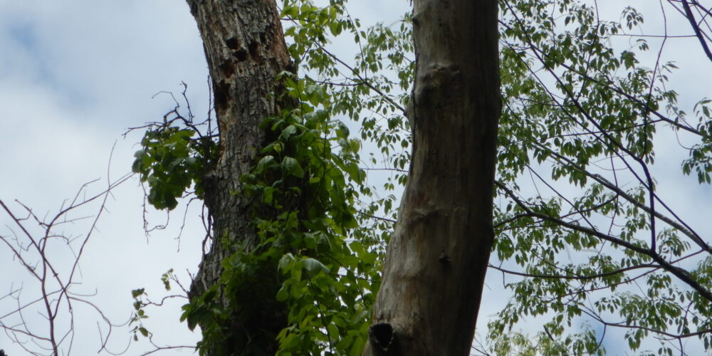
Typical summer bat roosting habitat in a shagbark hickory
- Summer roosting habitat mapping
- Maternity roost identification
- Emergence surveys
- Acoustic monitoring
- USFWS coordination
Bird Habitat & Acoustic Surveys
Winter migration on Hoover Reservoir in Westerville, Ohio
- Habitat determination
- Acoustic monitoring
- Experience with surveys for the state endangered upland sandpiper (Bartramia longicauda)
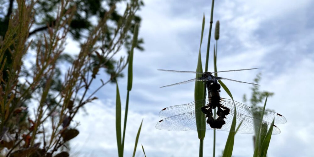
Aerial Insect Surveys
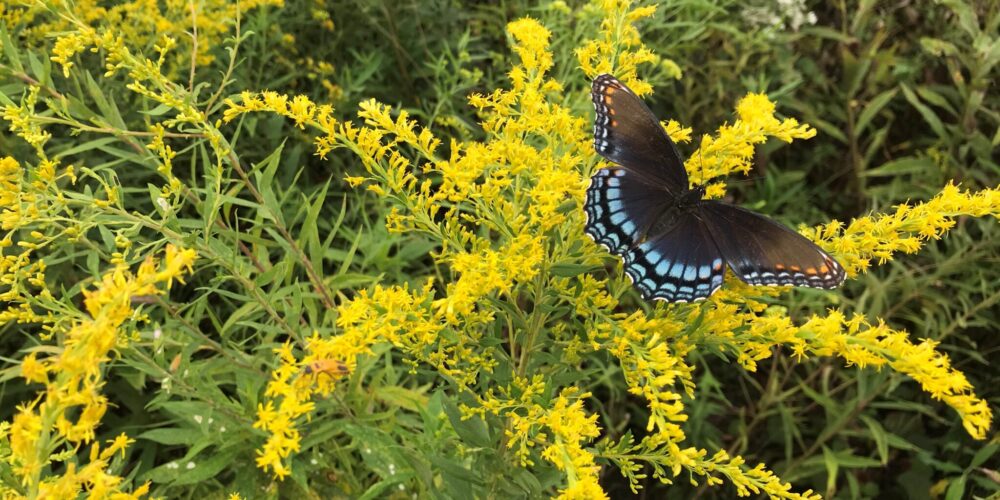
Butterfly weed at a relic Sandusky Plain Prairie in Marion County, Ohio
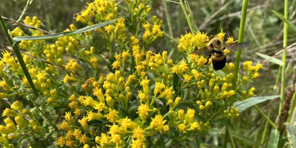
Pollinator Surveys
- Observation, collection, and identification (field and lab) of pollinators for research and monitoring purposes
General insect identification for ecological inventories and mitigation monitoring sites
General Wildlife Surveys
Early morning bird observation at Knoop Prairie in Montgomery County, Ohio
MAD can provide quality data regarding wildlife species presence at survey locations. Species are identified by:
- Direct observation
- Active & passive sampling
- Game cameras
- Secondary indicators such as calls, scat, tracks, and unique habitat modification
Botanical Surveys
VIBI assessment of mitigation wetland in Delaware County, Ohio
Carex umbellata observed in an FQAI plot in Hamilton County, Ohio
Quantitative Assessments
Formal vegetative surveys developed by the Ohio EPA to determine the quality of a given habitat based on the plant species present.
- Vegetative Index of Biological Integrity (VIBI & VIBI-FQ)
- Used to categorize wetland habitats for baseline assessments, permitting, and performance rating.
- Floristic Quality Assessment Index (FQAI)
- Used to determine the intactness of a habitat based on the plant community.
- One metric used by the VIBI calculations.
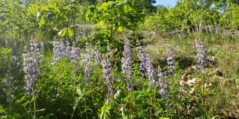
Wild hyacinth in bloom.
Hamilton County, Ohio
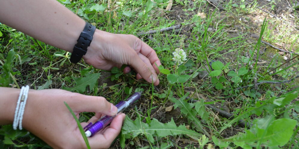
Floristic Inventory
- Threatened & endangered species surveys
- Certified running buffalo clover (Trifolium stoloniferum) surveyors on staff
- Comprehensive inventories of plant species using meander surveys and transect design.
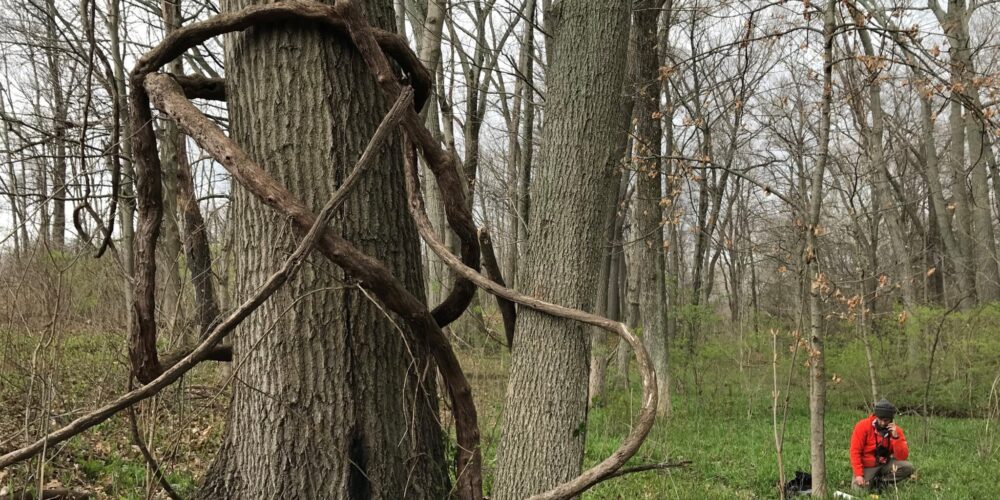
Mapping reference plant communities for a restoration site in Geauga County, Ohio
Mapping
Mapping of habitat type, plant community type, unique species, and problematic species using a handheld GPS unit (subfoot accuracy) or drone imagery.
For less formal boundaries, a desktop review can be completed.
Ohio buckeye bud burst
Tree Surveys
Tree and shrub identification and mapping for land use changes and species inventory.


